Northampton Area Guide
Living in Northampton, PA.
Northampton Borough sits on the east bank of the Lehigh River in Northampton County, at the heart of the Lehigh Valley and about 60 miles north of Philadelphia. This guide covers the borough's history, its river and trail access, schools, commuting, dining, and what makes it a place people put down roots.
Roots
The Cement Capital of the World.
The area was settled around 1740 as part of Allen Township, and Siegfried's Ferry was for decades the only crossing point of the Lehigh River north of Allentown. The borough was incorporated in 1902, unifying the villages of Siegfried, Newport, and Stemton.
Northampton earned the nickname "Cement Capital of the World" through the Atlas Portland Cement Company, the world's largest cement manufacturer from 1895 until it closed in 1982. Atlas cement helped build the Panama Canal and the Empire State Building. The borough's history is preserved at the Atlas Cement Memorial Museum, and the local high school mascot, the "Konkrete Kids", has been a running pun on the industry for more than a century.
Learn more about borough history and services at the Borough of Northampton website.
River & Trails
A river town with a trail network.
The Lehigh River forms the borough's western boundary and has shaped its character for over two centuries, from canal era to recreation era. The Delaware & Lehigh National Heritage Corridor, established by Congress in 1988, runs straight through town, and the D&L Trail connects Northampton to a roughly 145-mile route through eastern Pennsylvania. The Canal Street Heritage Walkway follows the river for more than a mile through the borough.
Location
Connected to the Valley, removed from the noise.
12 min
Drive to Allentown
15 min
Drive to Bethlehem
10 min
To Route 22
20 min
To Lehigh Valley Intl Airport
Downtown Northampton itself scores 74/100 on the Walk Score scale, considered Very Walkable. The Roxy Theatre, a preserved Art-Deco landmark on Main Street, hosts community events and films, and Municipal Park offers 19 acres of green space off Laubach Avenue.
Schools
Served by local districts, from kindergarten through high school.
The 18067 ZIP code is primarily served by the Northampton Area School District (Pre-K through 12th grade), with some areas falling within the Catasauqua Area School District. The public schools closest to Cherryville Road include Colonel John Siegfried Elementary School, Northampton Area Middle School, and Northampton Area Senior High School, whose "Konkrete Kids" nickname has been a local institution for over a century.
The neighborhood page for this property has more detail on schools, parks, and shopping around Cherryville Road.
Dining on Main Street
Local spots with staying power.
What It's Like to Live Here
Small-town roots, Lehigh Valley access.
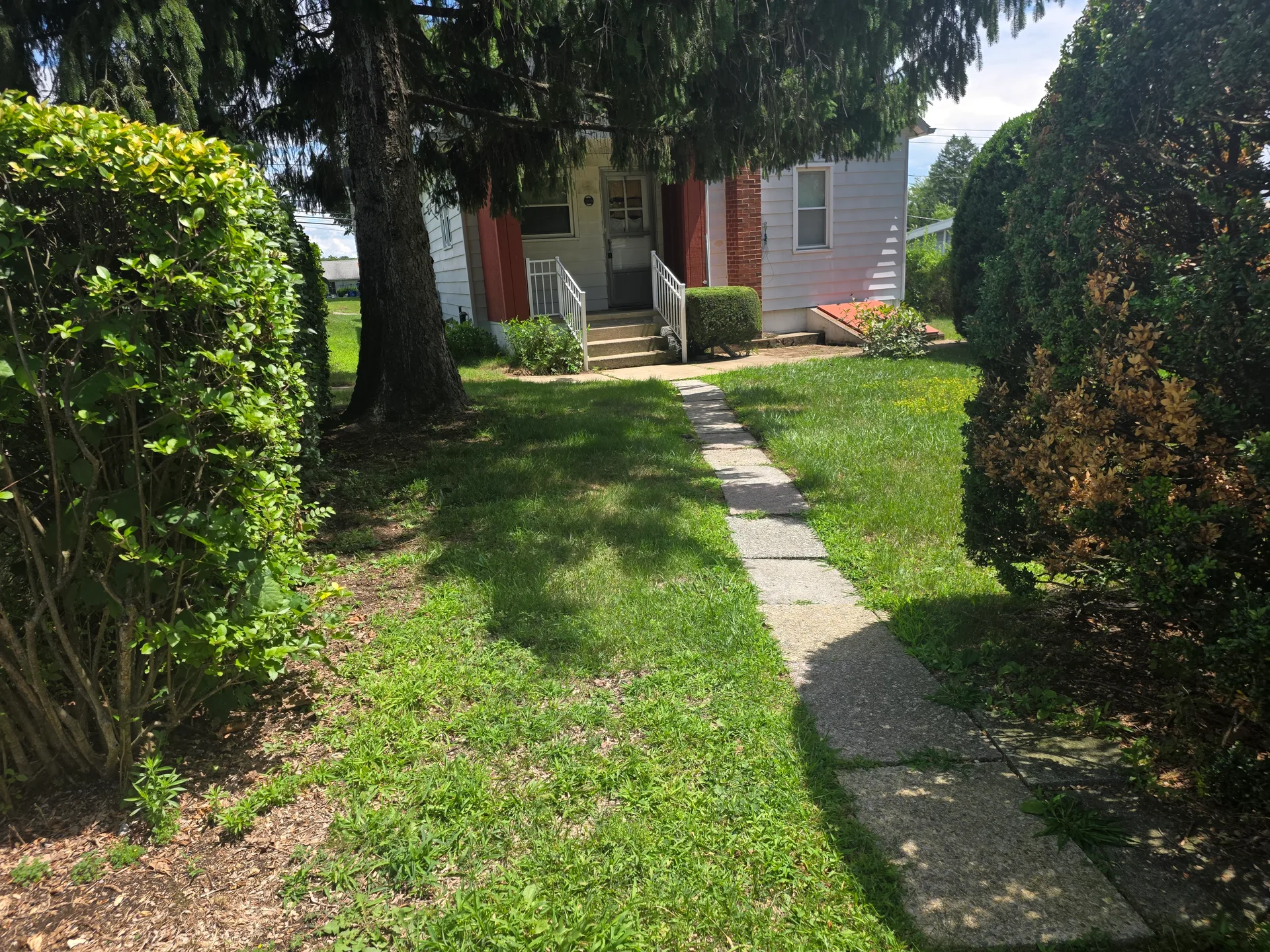
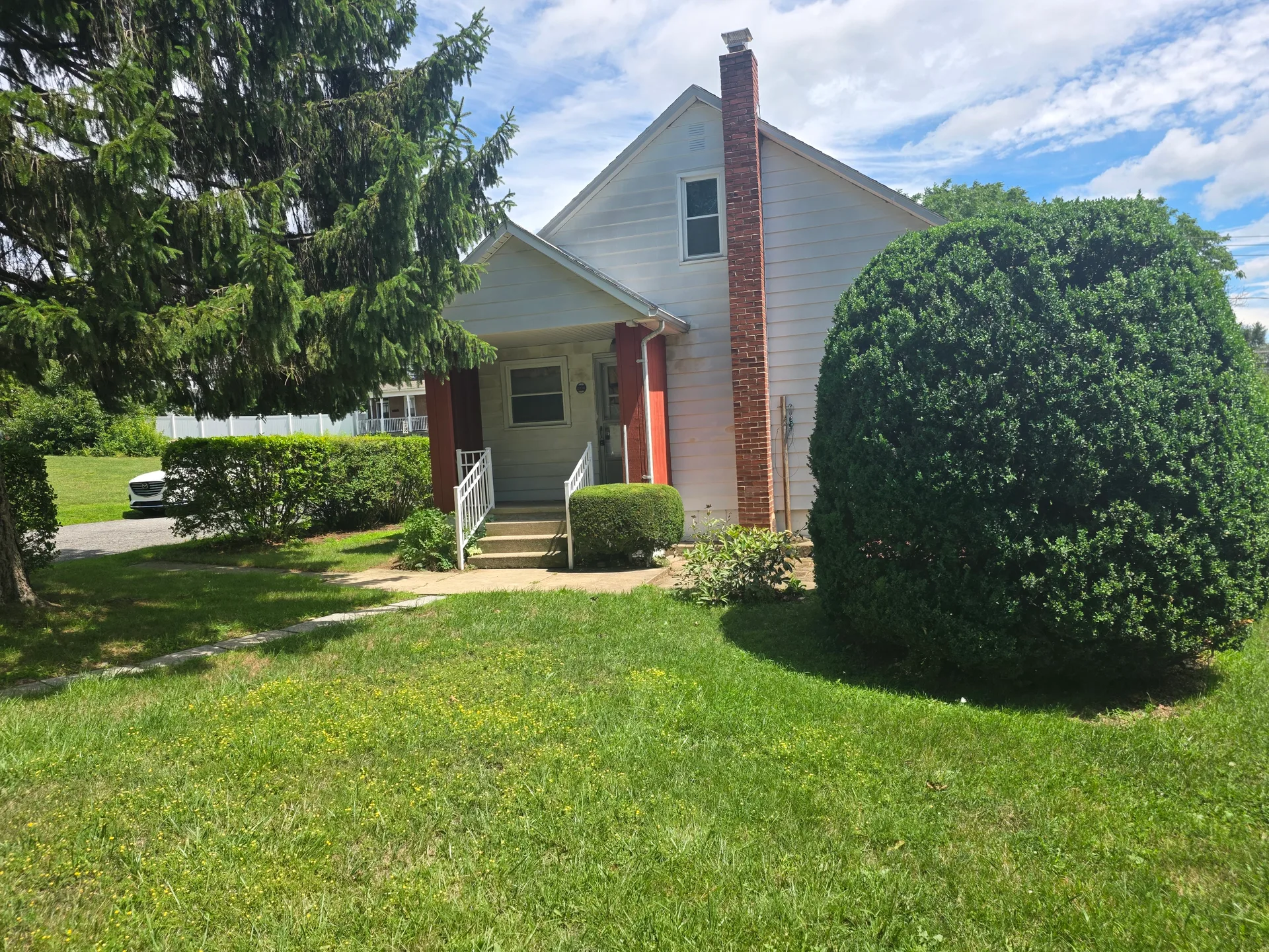
With a population of roughly 10,000, Northampton is big enough to have its own Main Street, its own diners and pizza shops, and its own high school pride, while being minutes from the jobs and culture of the wider Valley. The housing stock leans toward mid-century Cape Cods, Colonials, and ranches on tree-lined streets, many on larger lots than you will find closer to Allentown or Bethlehem.
In Tim's experience across 36 years in the Lehigh Valley, Northampton is the kind of place where people move in and stay: real community, a convenient location, and homes with honest character. Buyers willing to invest in updates find strong value here, and sellers benefit from steady, local demand.
Related Reading
Go deeper on the area.
Thinking of Northampton?
Twenty minutes from the airport, one call from the right agent.
Tim has sold homes in this borough for over three decades. Book a consultation to talk about the market, the schools, or a specific property.